Land And Water Forms: Labels
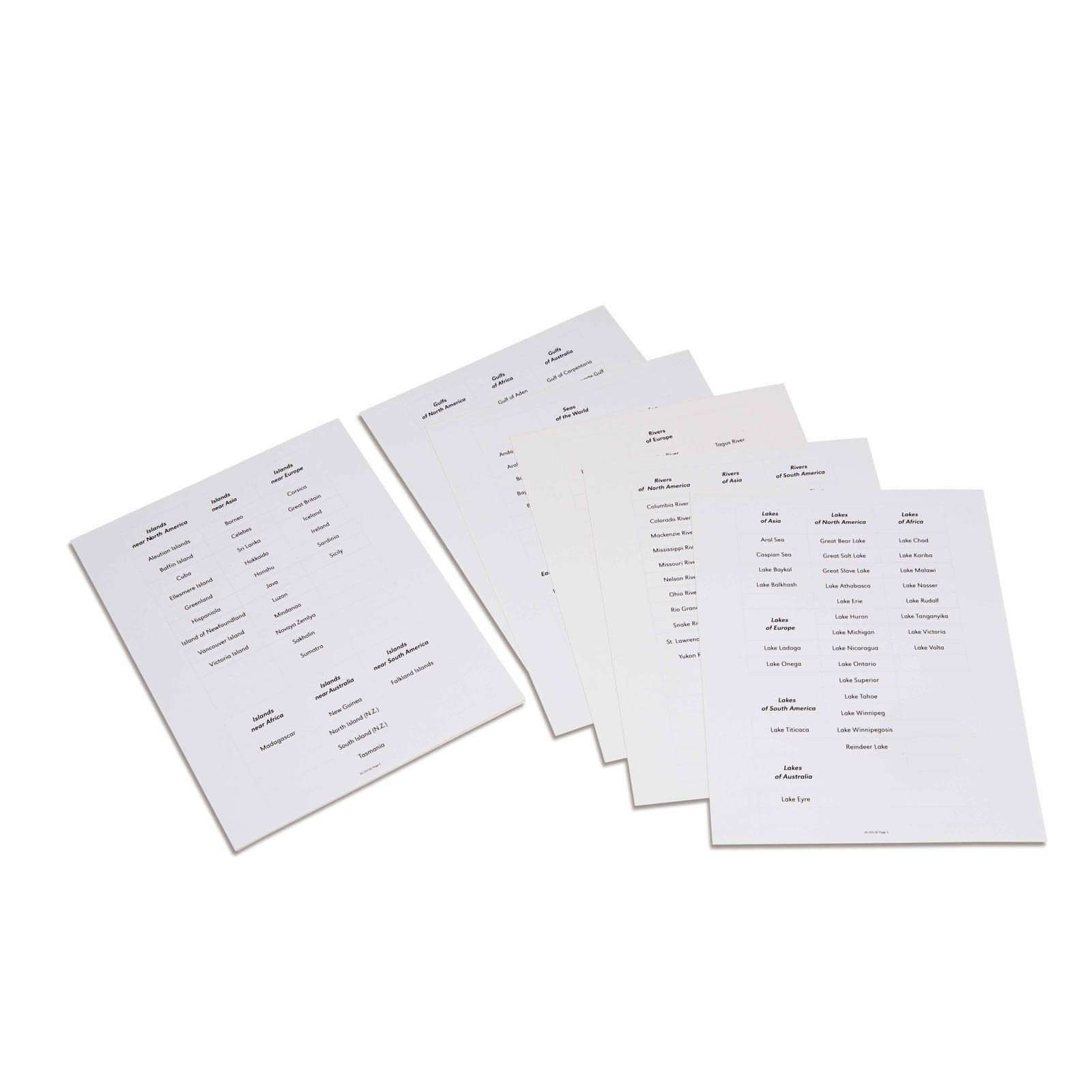
Geography comes alive through touch, these Land and Water Forms label cards provide essential vocabulary for the Montessori geography curriculum, featuring printed names of lakes, seas, and geographical features from around the world. The cardstock labels complement the tactile land and water form models, which lets children match concrete geographical concepts with their written names while developing global awareness and reading skills.
“The senses, being explorers of the world, open the way to knowledge.”
The Land and Water Forms Labels bridge sensorial geography exploration with literacy development, presenting printed geographical terms on durable cardstock that children match to their tactile models. These vocabulary cards transform abstract geographical concepts like 'peninsula' and 'archipelago' into readable words that connect to real landforms children can touch and trace.
- Reads and recognizes geographical vocabulary including lake, gulf, strait, and island
- Matches written labels to corresponding three-dimensional land and water models
- Builds sight word recognition through repeated exposure to geographical terms
- Develops categorization skills by grouping water forms versus land forms
Read More
The labels' careful selection of global geographical features, from local lakes to distant seas, reflects Maria Montessori's vision of cultivating world citizens who understand Earth's interconnected waterways and landmasses. By pairing these printed names with three-dimensional models, children internalize both the physical characteristics and written representation of each geographical form. The cardstock labels' portable format allows flexible classroom arrangements where children can sort, categorize, and organize geographical vocabulary according to their emerging understanding of Earth's surface features.

How to present it
Follow the Montessori method of presentation for optimal child development.
Arrange the cardstock labels in a basket beside the land and water form models. Place a reading mat on the work surface.
- 1
Invite the child to carry the label basket to their workspace alongside selected land and water models
Start with 3-4 familiar forms like lake and island before introducing complex terms - 2
Place one model on the mat and demonstrate reading its corresponding label slowly
Trace your finger under each word as you read to reinforce left-to-right progression - 3
Match the label to its model, placing the cardstock directly below the form
Allow time for the child to trace the model's edges while reading the label - 4
Continue matching remaining labels to models, reading each geographical term aloud
Encourage the child to sort labels into 'land' and 'water' categories after matching
Every Child Is a Little Creator
Heritage
Since 1929
Brands used by
schools worldwide
European brands
AMI
Endorsed
Related Materials
