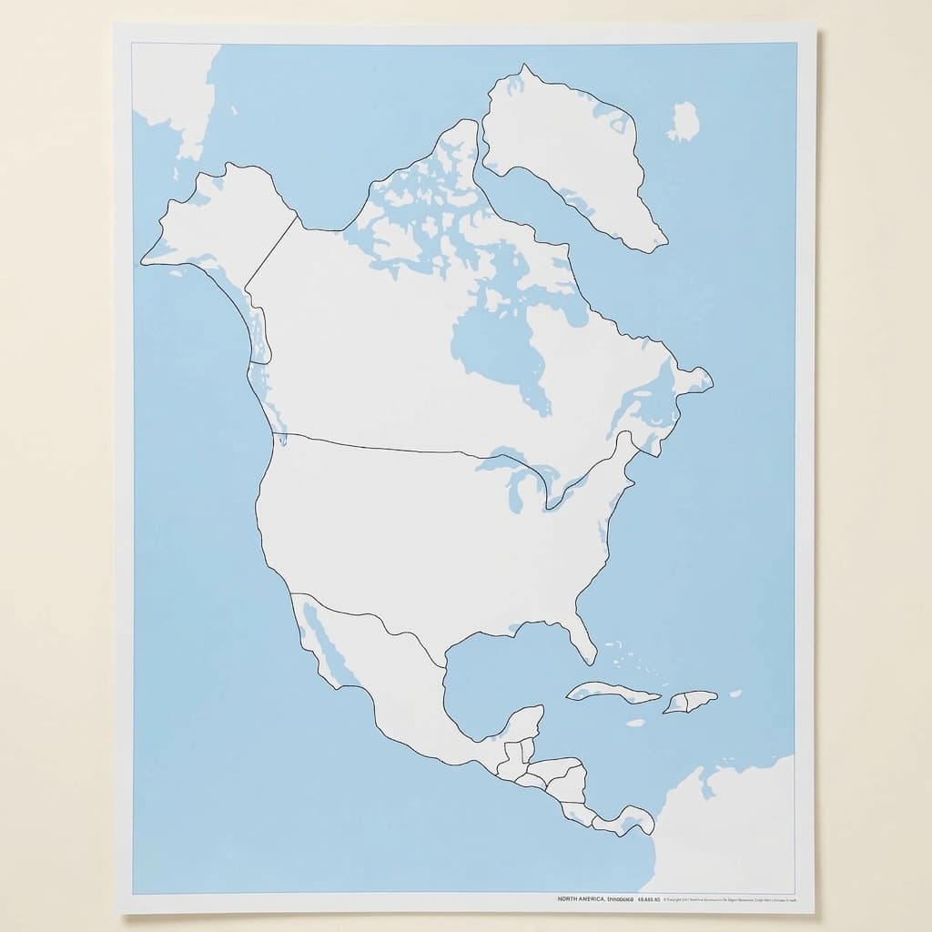
North America Control Map: Unlabeled
Geography comes alive through touch, this unlabeled North America control map serves as a key reference tool in the Montessori geography curriculum, letting young learners trace and identify countries, states, and provinces independently. The clear continental outline with distinct political boundaries printed on quality paper and mounted in a protective wooden frame guides the child's exploration of North American geography through visual discrimination and spatial awareness activities.
“The child is both a hope and a promise for mankind.”
The North America Control Map provides children with a concrete visual reference for understanding continental geography through precise boundary recognition.
- Visual discrimination of political boundaries and continental shapes
- Spatial awareness through matching activities with puzzle pieces
- Independent error correction using visual reference points
- Memory development for geographical locations and relationships
Read More
This unlabeled map presents clear political divisions without text, enabling young learners to match physical puzzle pieces to their corresponding locations purely through visual discrimination. The control map's protective wooden frame ensures repeated handling as children verify their work with puzzle maps, pin maps, and tracing activities. By offering an exact representation of North American boundaries, this reference tool allows children to self-correct their geographical work independently. The map's unlabeled format respects the child's developmental sequence in geography study, first recognizing shapes and spatial relationships before associating names with locations. Through repeated consultation of this control map, children internalize the distinctive shapes of countries, states, and provinces, building a mental map of North America that serves as foundation for later cultural and political studies.


How to present it
Follow the Montessori method of presentation for optimal child development.
Place the control map at child's eye level on a low shelf or wall. Ensure adequate lighting and position near related geography materials like the North America puzzle map.
- 1
Introduce the map as a special picture showing all countries in North America
Run your finger slowly along the continental outline to establish the boundary concept - 2
Demonstrate matching a single puzzle piece to its location on the control map
Choose a distinctively shaped country like Mexico for first demonstrations - 3
Show how to verify completed puzzle work by comparing to the control map
Point to specific boundary features that confirm correct placement - 4
Model tracing a country from the puzzle map while referencing the control
Use both maps side by side for accurate shape reproduction
Every Child Is a Little Creator
Heritage
Since 1929
Brands used by
schools worldwide
European brands
AMI
Endorsed
Related Materials