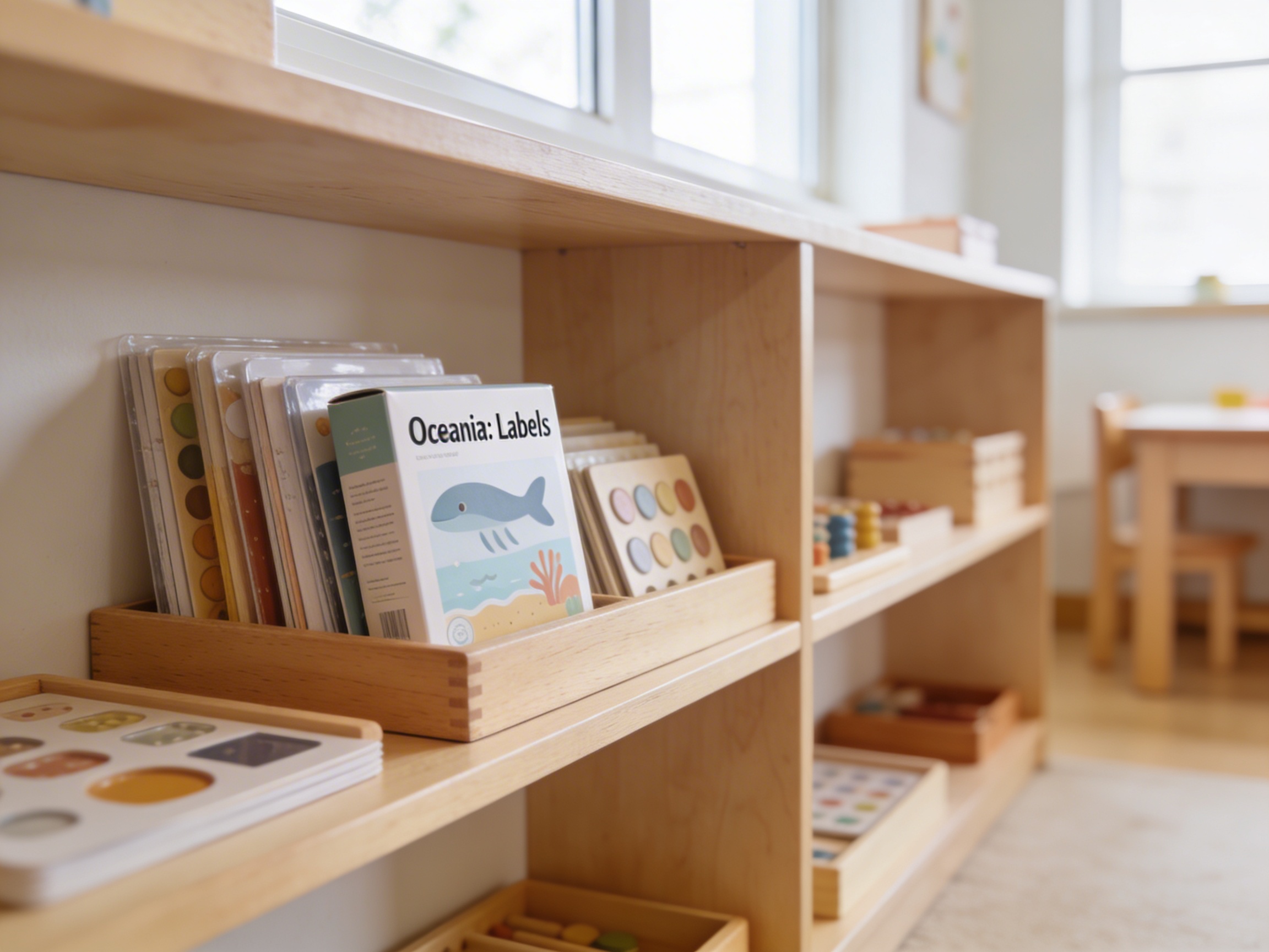
The Oceania: Labels is a Educational Materials Montessori material designed for children aged 3-6, crafted by Nienhuis Montessori to AMI standards.
These Oceania continent labels support geography studies by helping children identify and learn about the countries, capitals, and major geographical features of Australia, New Zealand, and the Pacific Islands. Part of the Montessori cultural curriculum, these labels enhance map work and develop reading skills while building knowledge of Oceania's diverse nations and territories.
“The child is both a hope and a promise for mankind.”— Maria MontessoriEducation and Peace
“The hands are the instruments of man's intelligence.”
— Maria Montessori, The Absorbent Mind
The Oceania Labels provide concrete representations of abstract geographical concepts through carefully designed cardstock labels that children can manipulate and match. These laminated labels transform map study from passive observation into active exploration, allowing young learners to physically handle country names, capital cities, and geographical features while building connections to the Oceania puzzle map. Each label serves as a bridge between the child's concrete operational thinking and the abstract concept of political boundaries, enabling them to construct mental maps through repeated matching and reading activities. The labels' portable format encourages independent work cycles where children choose to explore Australia's states, New Zealand's islands, or Pacific Island nations at their own pace. By isolating nomenclature from the visual map work, these Oceania Labels create opportunities for children to test their growing knowledge, reinforcing both geographical understanding and reading skills through purposeful repetition.
Each order includes everything needed for proper presentation and long-term use.
Follow the Montessori method of presentation for optimal child development.
Begin with Australia's state labels, placing each one below its corresponding puzzle piece
Match capital city labels to their states, reading each name aloud
Progress to New Zealand labels, discussing North and South Islands
Introduce Pacific Island nation labels gradually, grouping by region
Create a three-period lesson with selected labels for reinforcement
Every material is carefully selected for durability, safety, and authentic Montessori experience.
Sourced from sustainably managed European forests. Beechwood is chosen for its exceptional durability, smooth grain, and natural warmth that invites touch.
Natural, unbleached cotton in child-friendly colors. The fabric provides the right amount of friction for developing fingers while being gentle on sensitive skin.
Water-based, child-safe finish that meets the strictest European safety standards. Designed to withstand years of daily use without chipping or peeling.
Each material supports multiple areas of child development simultaneously.
Builds understanding of Oceania's countries, capitals, and territorial divisions through hands-on labeling activities.
Supports early reading skills as children match and read country and city names.
Introduces children to the diverse nations and cultures of the Pacific region.
Develops precision in placing labels correctly on maps and control charts.
Designed for child-sized hands
Professional tips from AMI-trained guides to maximize the educational value of this material.
“Store labels in clear containers organized by region (Australia, New Zealand, Pacific Islands) for easy access”
Create control cards with labels correctly placed for self-checking
Introduce cultural objects or photographs alongside label work to build meaningful connections
Use labels for vocabulary enrichment during group lessons about island ecosystems
Everything you need to know about this material.
The labels include all major countries and territories of Oceania including Australia, New Zealand, Papua New Guinea, Fiji, Solomon Islands, Vanuatu, Samoa, Tonga, and other Pacific Island nations. Each country label can be matched to corresponding map materials for comprehensive geography learning.
These labels feature clear, simple text that helps children ages 3-6 practice letter recognition and beginning reading skills. As children match labels to maps, they simultaneously develop their reading abilities while learning geography, making this a multi-purpose educational material.
These labels complement Montessori puzzle maps of Oceania, control maps, and pin maps. They can also be used with globe work, flag materials, and cultural folders about Oceania. The labels enhance any geography lesson focused on this region.
Yes, non-readers can use these labels through matching activities with control cards that show both the label and corresponding image. Teachers can also use three-period lessons to introduce vocabulary orally, allowing children to learn country names before they can read them independently.
These labels open doors to exploring Oceania's diverse cultures, including Aboriginal Australian art, Maori traditions, Pacific Island music and dance, unique animals like kangaroos and kiwis, and geographical features like the Great Barrier Reef. They serve as a starting point for rich cultural studies.
Can't find what you're looking for?
Contact Our Experts
Share your experience with this material and help other educators and parents.


