United States Map: 50 Colour-Coded Location Set
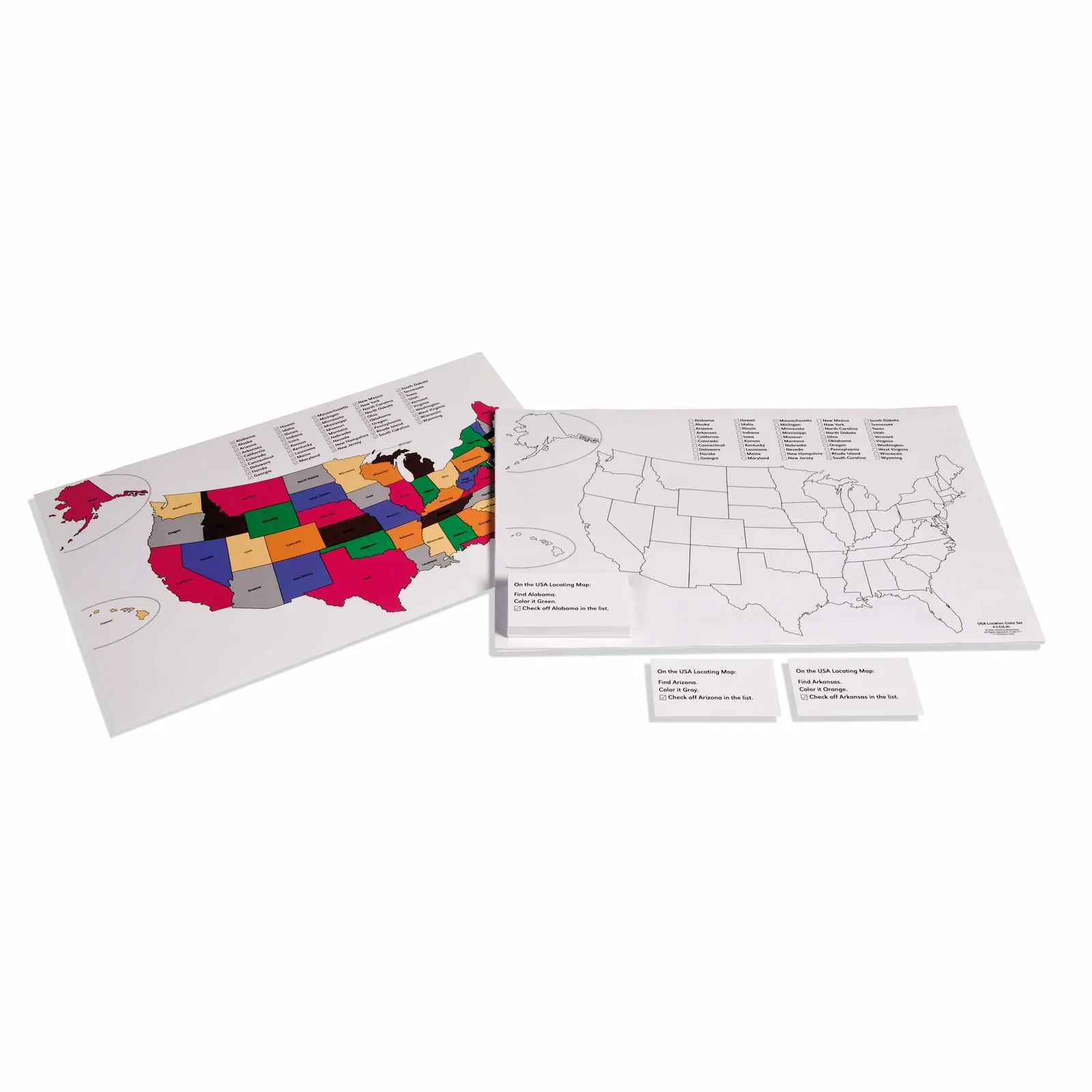
Fifty map sheets of the United States for colouring state by state, each one worked with a command card that names a state, names a colour, and asks the child to find it and tick it off a list. One fully coloured map with the state names is included as the control. Fifty states is too many to learn by looking; colouring one at a time and crossing it off turns an unlearnable map into fifty small finished jobs. Paper and cardstock, for ages 3 to 12.
“Children display a universal love of mathematics, which is par excellence the science of precision, order, and intelligence.”
This material embodies Montessori's principle of the 'Cosmic Curriculum,' introducing children to their place in the world through concrete, sensorial experiences. The color-coding transforms abstract geographical concepts into tangible, visual learning that appeals to the child's sensitive period for order and classification.
- Visual discrimination and color recognition through state identification
- Spatial awareness and understanding of geographical relationships
- Fine motor control and hand-eye coordination through precise placement
- Memory development through repetition and self-correction
Read More
Through self-directed exploration with the maps, children construct their own understanding of spatial relationships and cultural geography. The material's self-correcting nature honors the child's drive for independence and precision, while the progression from concrete (colored map) to abstract (blank map) follows Montessori's fundamental teaching sequence. This work prepares the child's absorbent mind for later cultural studies while developing concentration, visual discrimination, and fine motor control through purposeful activity.

How to present it
Follow the Montessori method of presentation for optimal child development.
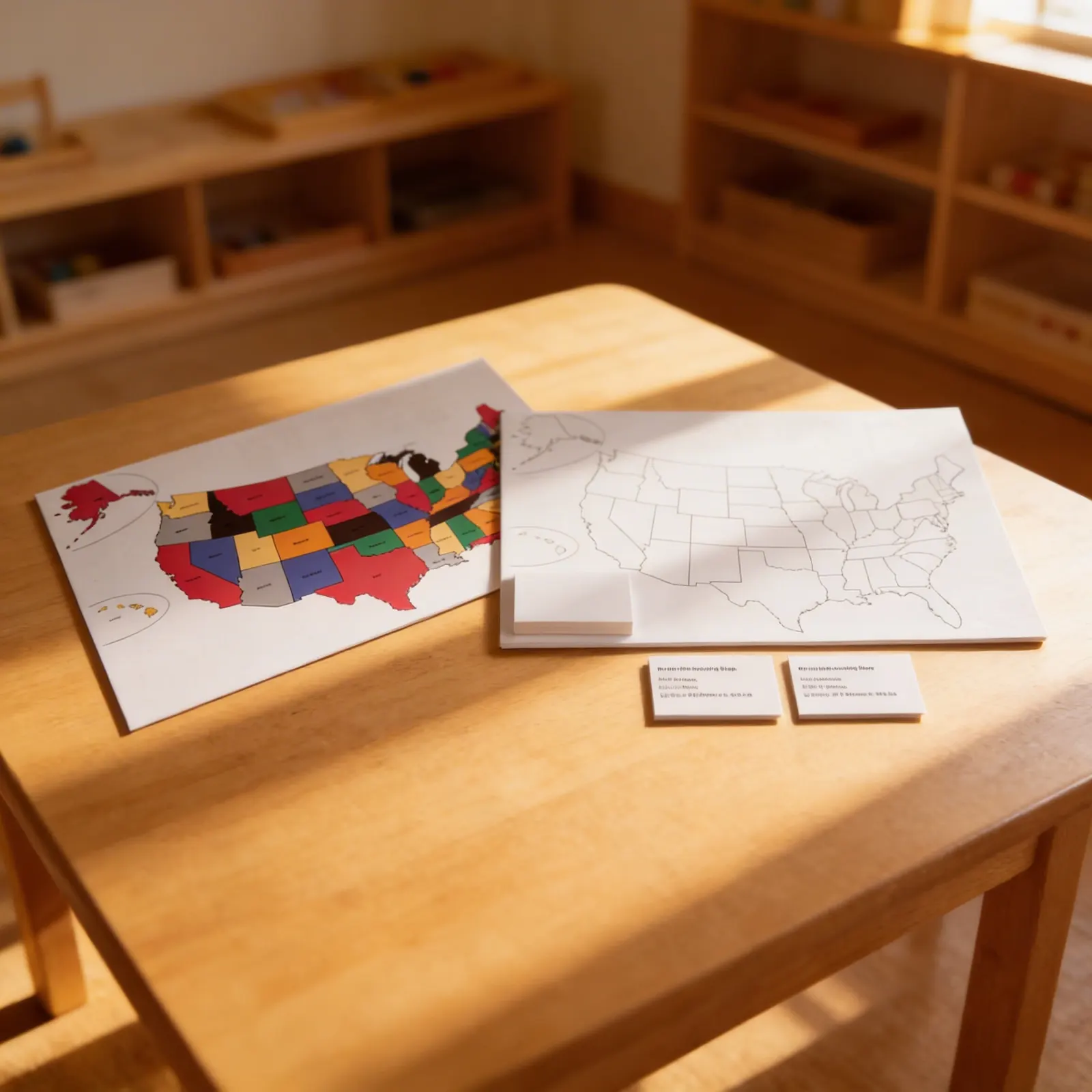
Place the colored reference map on the left side of a work mat, the blank practice map in the center, and the location cards in a basket on the right. Ensure adequate lighting and a calm work space.
- 1
Invite the child to explore the colored map, tracing state boundaries with their finger
Start with larger, distinctively shaped states like Texas or Florida - 2
Select one location card and find the matching colored state on the reference map
Use the three-period lesson to introduce state names gradually - 3
Place the location card on the corresponding space of the blank map
Encourage the child to check their work against the colored map - 4
Continue matching cards, building from familiar to unfamiliar states
Allow the child to work at their own pace, perhaps focusing on one region per session - 5
When complete, verify placement using the colored map for self-correction
Celebrate the child's effort rather than perfection
Every Child Is a Little Creator
Heritage
Since 1929
Brands used by
schools worldwide
European brands
AMI
Endorsed
Related Materials