
AsiaPolitical (50)
The first photo is the maker's own. The other shots are illustrative.
Inv. no. NIE-551900
- Maker
- Nienhuis Montessori, since 1929
- Approval
- AMI
- Base Material
- Paper
- Surface
- Laminate coating
- EAN
- 8719924029173
Final price incl. VAT. Delivery €5.90, €125.10 to go for free delivery.
Advice, warranty and returns are handled by us.
Why it costs €23.90
Behind the price of the original are things you can check yourself.
AMI approval
The material is approved by the Association Montessori Internationale (AMI). Nienhuis has made Montessori materials since 1929.
A verifiable original
The EAN 8719924029173 is on the box. It is the maker's number, not ours.
Asia in a child's hands
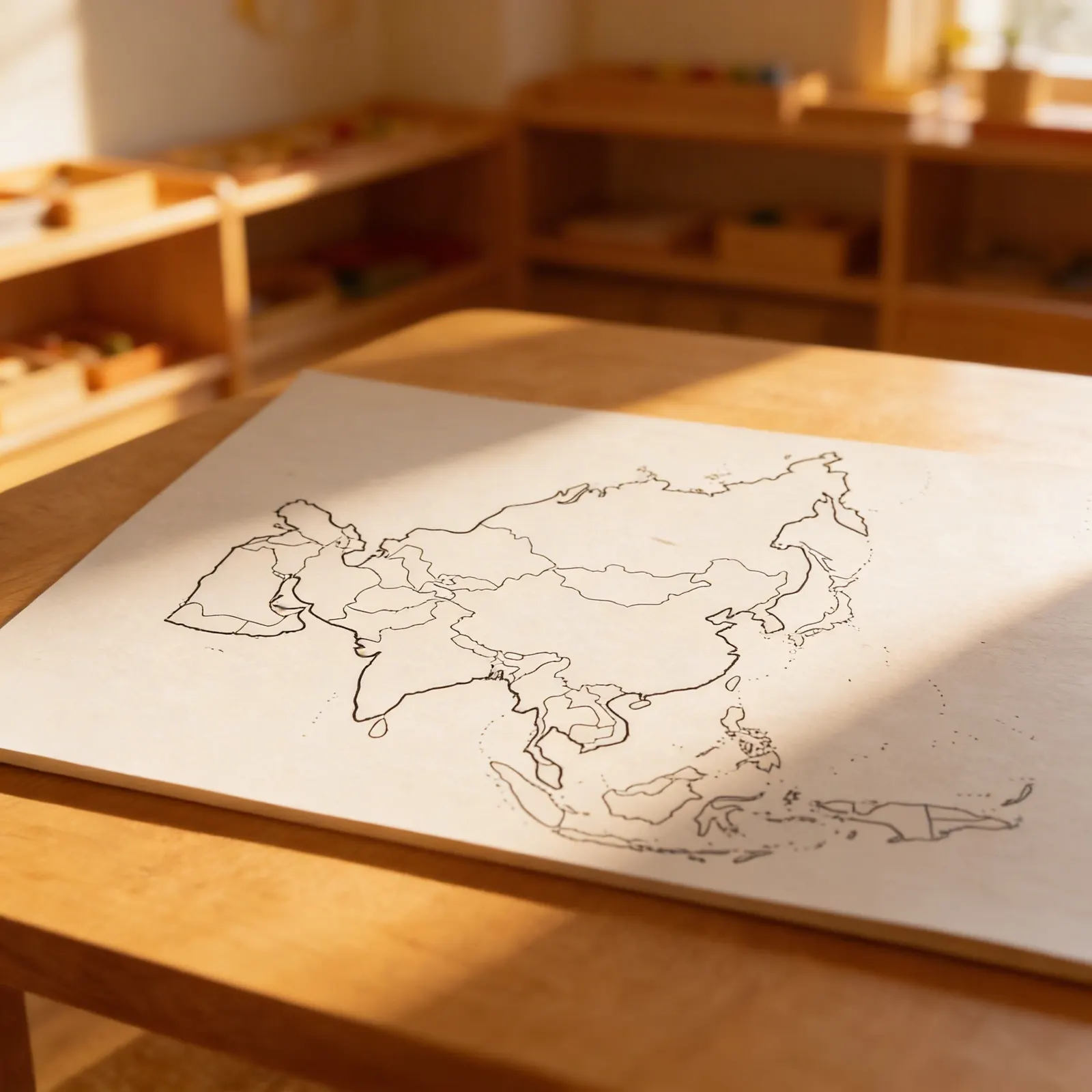
Fifty political maps of Asia, showing the countries. Asia is the hardest political map to finish and the one that most rewards being finished: it holds more countries than a child expects, at wildly different sizes, and the two largest by population sit side by side. Working through it slowly, a sheet at a time, is the only way anyone learns it. Paper with laminate, for ages 3 to 12.
Geographic Awareness
Children develop understanding of political boundaries and spatial relationships between Asian countries.
Cultural Appreciation
Introduces diversity of nations and cultures, fostering global awareness and respect for different peoples.
Visual Discrimination
Distinguishing between countries by shape and size refines visual perception and attention to detail.
Language Development
Learning country names and geographical vocabulary expands language skills and world knowledge.
How to present it
Place the laminated Asia political map on a table or map stand at child's eye level. Have a dry-erase marker and soft cloth available for tracing activities. Ensure good lighting to see country boundaries clearly.
- 1Invite the child to explore the map freely, noticing different colors represent different countries
- 2Choose one country and trace its border slowly with your finger, then invite the child to trace
- 3Name the country after tracing, speaking clearly: 'This is China'
- 4Use a dry-erase marker to mark or circle countries as you name them
- 5Play 'finding' games: 'Can you find Japan?' or 'Which country is shaped like a boot?'
3 tips for parents
- Point out Asia on world maps at home or in books, reinforcing classroom learning
- When eating Asian foods, locate the country of origin on a map together
- Create a simple photo album of Asian landmarks for your child to match with countries

If you are not sure it suits your child, we answer in person.
Norbert Kovalčín, founder of Faborino · write to him
There is no review here yet. We will ask you for one after you buy. Write the first review
What's in the Box
- Political Map of Asia: 60×50cm laminated
Size and material
| Packaging | 44 × 28 × 1 cm |
| Base Material | Paper |
| Surface | Laminate coating |
| Recommended Age | 3-6 years |
Care
Wipe with damp cloth, avoid harsh chemicals
Frequently Asked Questions
What age group is this Asia political map designed for?
This map is specifically designed for children ages 3-6 years old, aligning with the Montessori early childhood curriculum for geography studies.
Is the map surface suitable for repeated use by young children?
Yes, the map features a durable laminated surface that allows children to trace boundaries, handle it frequently, and explore countries through hands-on activities without damage.
How many countries are shown on this political map of Asia?
The map displays 50 political divisions of Asia, showing all major countries and their borders in clear visual representation suitable for young learners.
Can this map be used with other Montessori geography materials?
Absolutely! This political map complements other Montessori geography materials like continent boxes, flags, and cultural folders to create a comprehensive Asian studies curriculum.
What specific skills does this map help develop?
The map helps develop spatial awareness, country recognition, boundary understanding, fine motor skills through tracing, and foundational geography knowledge about Asia's political landscape.
Product safety
Manufacturer: Nienhuis Montessori, Anders Celsiusstraat 15, 7442 PB Nijverdal, Netherlands
Asia