
CanadaLabels
The first photo is the maker's own. The other shots are illustrative.
Inv. no. NIE-556510
- Maker
- Nienhuis Montessori, since 1929
- Approval
- AMI
- Labels
- Paper cards
- Storage
- Clear acrylic containers
- EAN
- 8719924029630
Final price incl. VAT. Delivery €5.90, €138.00 to go for free delivery.
Advice, warranty and returns are handled by us.
Why it costs €11.00
Behind the price of the original are things you can check yourself.
AMI approval
The material is approved by the Association Montessori Internationale (AMI). Nienhuis has made Montessori materials since 1929.
A verifiable original
The EAN 8719924029630 is on the box. It is the maker's number, not ours.
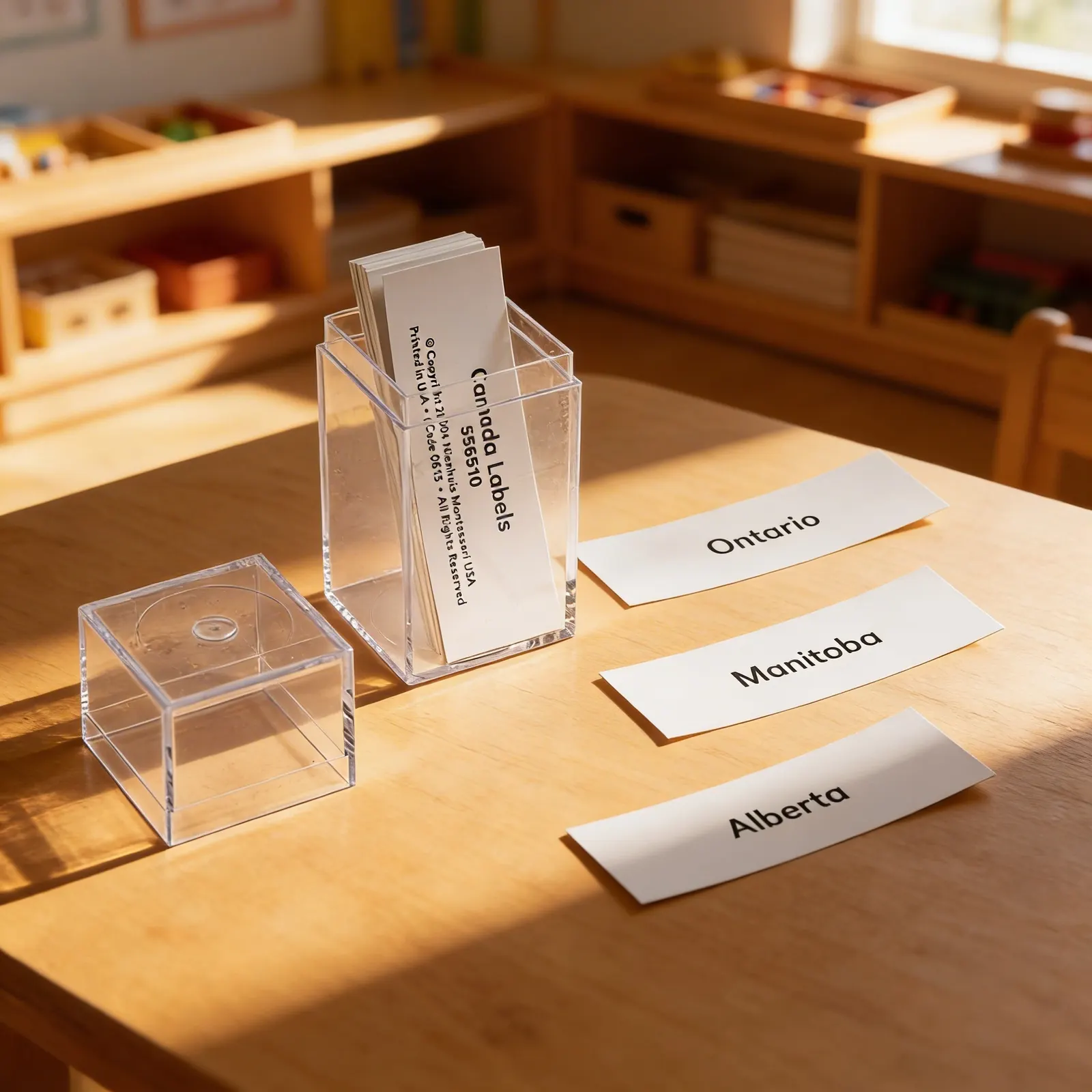
Canada in a child's hands
The label set for the Canada puzzle map. Canada is one of the maps whose pieces are provinces and territories rather than countries, which makes the labels do something the shapes cannot: they carry names a European child has never said out loud, and saying them is half the work. Laid on the map and checked against the control map, the set turns a geography material into a reading one. The puzzle map and the control maps are separate items.
Geographic Knowledge
Children learn to identify and name Canadian provinces, building foundational geography skills.
Reading Practice
Working with written province names supports early literacy and word recognition.
Cultural Awareness
Understanding Canada's political geography fosters awareness of different regions and cultures.
Classification Skills
Organizing and categorizing provinces develops logical thinking and spatial reasoning.
How to present it
Place the acrylic storage container with Canada labels on the geography shelf near the Canada puzzle map. Ensure all province and territory labels are visible and in order.
- 1Remove one province piece from the Canada puzzle map and place it on the work mat
- 2Search through the label collection to find the matching province name
- 3Place the label below or beside the puzzle piece to create a match
- 4Continue matching all provinces, working systematically across the map
- 5Return labels to their designated slots in the acrylic organizer
3 tips for parents
- Practice province names during everyday conversations about Canadian weather or news
- Point out province names on food packaging or license plates
- Create simple matching games using the labels and a blank map of Canada

If you are not sure it suits your child, we answer in person.
Norbert Kovalčín, founder of Faborino · write to him
There is no review here yet. We will ask you for one after you buy. Write the first review
What's in the Box
- Province Label Cards: Approx. 5 paper labels
- Acrylic Storage Container: Rectangular holder
- Acrylic Base: Cube-shaped storage unit
Size and material
| Packaging | 8 × 4 × 4 cm |
| Labels | Paper cards |
| Storage | Clear acrylic containers |
| Recommended Age | 3-6 years |
Care
Wipe acrylic containers with damp cloth; keep paper labels dry
Frequently Asked Questions
What ages are these Canada province labels suitable for?
These labels are designed for children ages 3-6 years, aligning with the Montessori primary geography curriculum when children begin learning about countries and their divisions.
How many province and territory labels are included?
The set includes labels for all 10 Canadian provinces and 3 territories, providing complete coverage of Canada's political divisions for comprehensive geography lessons.
What materials are the labels and storage made from?
The labels are printed on durable paper cardstock, while the storage system is made from clear acrylic that allows children to easily see and select the labels they need.
How do these labels work with Montessori map materials?
These labels are designed to complement Montessori Canada puzzle maps, allowing children to match province names to their corresponding pieces and practice placement during geography activities.
Product safety
Manufacturer: Nienhuis Montessori, Anders Celsiusstraat 15, 7442 PB Nijverdal, Netherlands
Canada