
EuropeOutline (50)
The first photo is the maker's own. The other shots are illustrative.
Inv. no. NIE-552300
- Maker
- Nienhuis Montessori, since 1929
- Approval
- AMI
- Primary Material
- Heavy cardstock
- Finish
- Matte print surface
- EAN
- 8719924029210
Final price incl. VAT. Delivery €5.90, €125.10 to go for free delivery.
Advice, warranty and returns are handled by us.
Why it costs €23.90
Behind the price of the original are things you can check yourself.
AMI approval
The material is approved by the Association Montessori Internationale (AMI). Nienhuis has made Montessori materials since 1929.
A verifiable original
The EAN 8719924029210 is on the box. It is the maker's number, not ours.
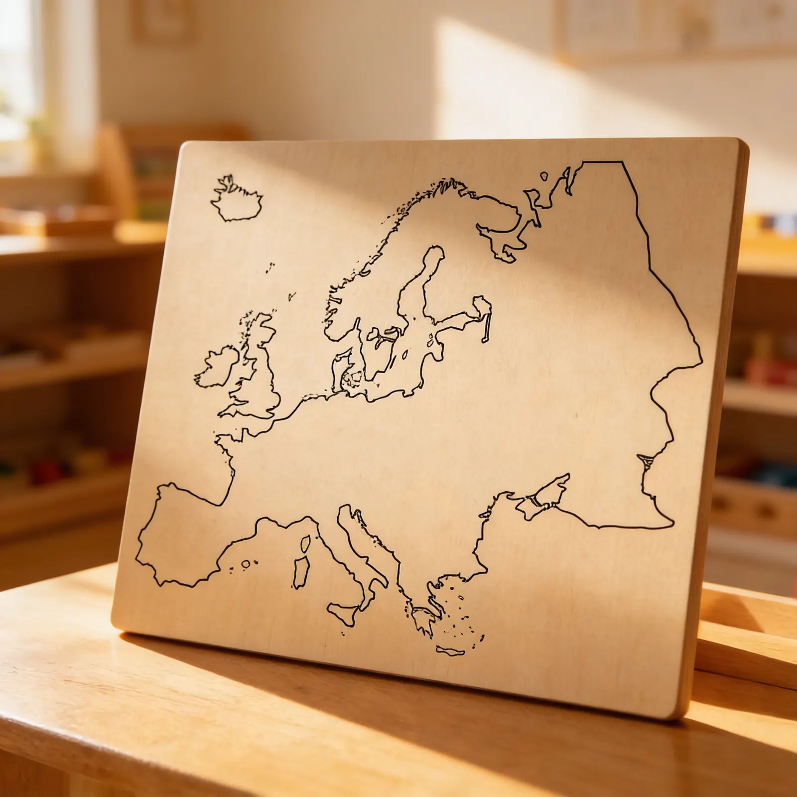
Europe in a child's hands
Europe: Outline (50) is a pack of 50 sheets printed with the outline of the continent of Europe. An outline map shows only the contour of the land, so the child fills in the rest on the sheet. Apart from the outline there is room on the sheet for the child's own work. Fifty equal sheets suit repeated work on the same outline. In the Nienhuis range for ages 3 to 6 the sheets belong to geography, to the topography group. The maps are made of paper and the pack weighs 600 g. Packed, it measures 44 × 28 × 1 cm. The manufacturer's number is 552300.
Geographical Understanding
Develops spatial awareness and understanding of European country relationships through visual recognition of borders and shapes.
Fine Motor Skills
Tracing country outlines strengthens pencil grip and hand control while building geographical knowledge.
Cultural Awareness
Forms foundation for understanding European diversity and prepares children for more advanced cultural studies.
Visual Discrimination
Recognizing and differentiating country shapes enhances visual perception and pattern recognition abilities.
How to present it
Place the Europe outline map on a large work mat or table at child's eye level. Have colored pencils and tracing paper nearby.
- 1Invite the child to explore the map visually, noticing the different country shapes
- 2Demonstrate tracing one country's border with your finger, moving slowly and deliberately
- 3Offer the child tracing paper to place over a country and trace its outline
- 4Label the traced country and create a collection of country outlines
3 tips for parents
- Reference the map when discussing family heritage or travel destinations
- Create simple matching games using country outlines traced from the map
- Point out European countries mentioned in stories or news to build real-world connections

If you are not sure it suits your child, we answer in person.
Norbert Kovalčín, founder of Faborino · write to him
There is no review here yet. We will ask you for one after you buy. Write the first review
What's in the Box
- Europe outline map: pack of 50 sheets
Size and material
| Packaging | 44 × 28 × 1 cm |
| Primary Material | Heavy cardstock |
| Finish | Matte print surface |
| Recommended Age | 3-6 years |
Care
Wipe gently with dry cloth; avoid moisture
Frequently Asked Questions
What age group is this Europe outline map designed for?
This outline map is specifically designed for children ages 3-6 years old, aligning with the Montessori early childhood curriculum for introducing geography concepts through visual and tactile learning.
What countries are included on this European outline map?
The map includes all European nations from the British Isles in the west to Eastern European countries, featuring distinct country borders that help children identify and learn each nation's location and shape.
How does this map support Montessori geography learning?
This outline map follows Montessori principles by providing concrete, visual learning through clear country boundaries. Children can trace borders, color countries, and engage in hands-on exploration to build foundational geographical knowledge.
What is the size and format of this Europe outline map?
This is a large-format outline map that provides ample space for young children to work with, making it easy to see country boundaries clearly and engage in various geography activities like coloring or labeling.
What activities can children do with this outline map?
Children can trace country borders, color different nations, place labels or flags, create their own geography booklets, and use it as a reference for puzzle maps or other Montessori geography materials.
Product safety
Manufacturer: Nienhuis Montessori, Anders Celsiusstraat 15, 7442 PB Nijverdal, Netherlands
Europe