
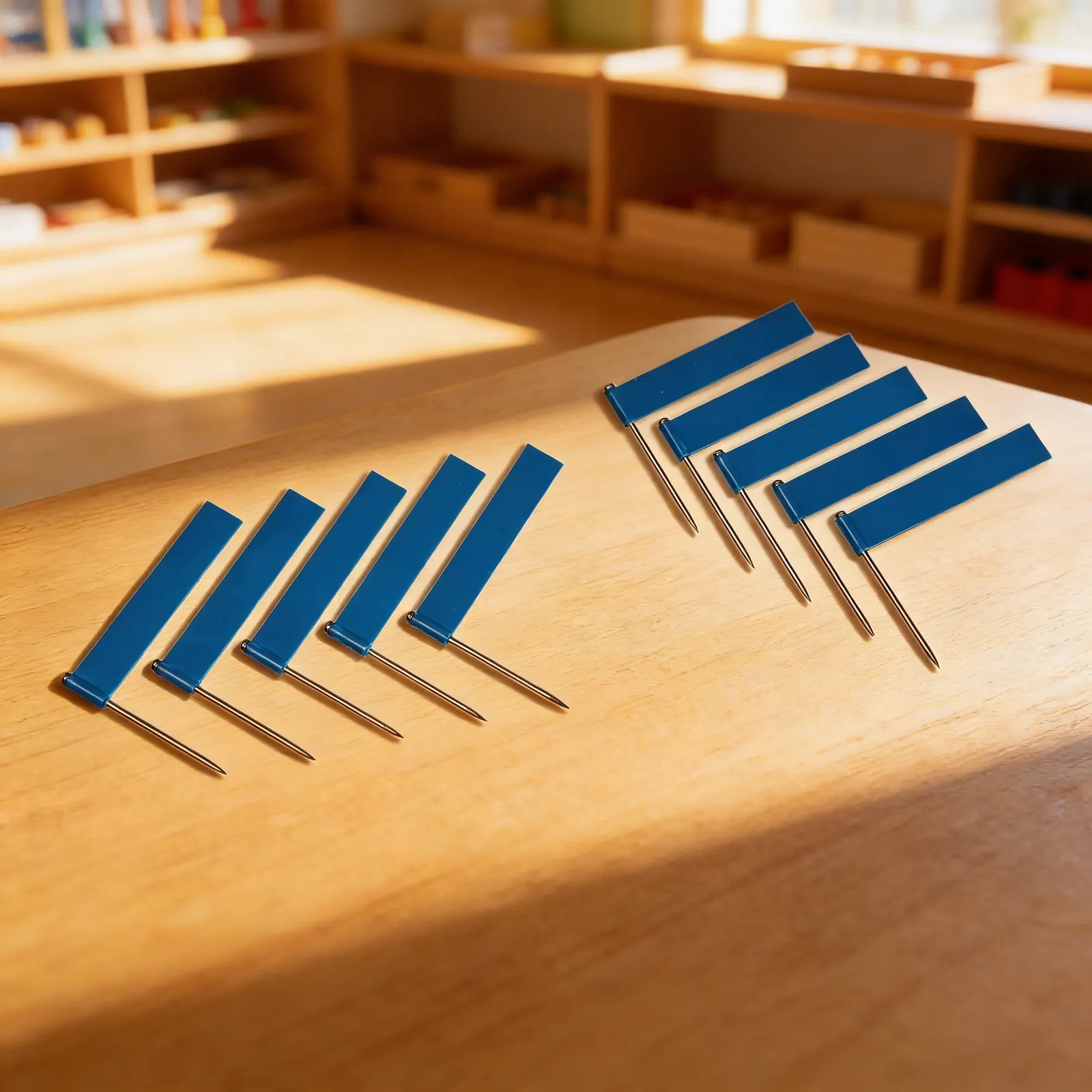
Extra FlagsBlue (10)
The first photo is the maker's own. The other shots are illustrative.
Inv. no. NIE-0174A3
- Maker
- Nienhuis Montessori, since 1929
- Approval
- AMI
- Flag Material
- Durable plastic
- Pin Material
- Metal
- EAN
- 8719924008086
Final price incl. VAT. Delivery €5.90, €139.00 to go for free delivery.
Advice, warranty and returns are handled by us.
Why it costs €10.00
Behind the price of the original are things you can check yourself.
AMI approval
The material is approved by the Association Montessori Internationale (AMI). Nienhuis has made Montessori materials since 1929.
A verifiable original
The EAN 8719924008086 is on the box. It is the maker's number, not ours.
Extra Flags in a child's hands
Extra Flags in blue are ten additional pin flags: plastic flags on metal pins. A pin flag is pushed into a hole in a map. In the Nienhuis catalogue, pin flags belong to the pin maps, where the child explores country names, capital names and national flags on a working map with holes for the flags. The Cabinet of the USA uses blue pin flags to mark water. The pack holds the flags only, without a map or a cabinet. Packed, it measures 12 × 8 × 1 cm. For ages 3 to 6.
Geographic Awareness
Marking specific locations helps children understand spatial relationships and develop map-reading skills.
Fine Motor Control
Precise placement of pins refines pincer grip and hand-eye coordination.
Visual Discrimination
Using colored flags to categorize locations enhances classification and organizational skills.
Abstract Thinking
Connecting flag markers to real-world locations bridges concrete and abstract geographic concepts.
How to present it
Place the world map or globe on a work mat with the container of blue flags nearby. Ensure adequate lighting for clear visibility of water features.
- 1Invite the child to identify one ocean on the map, starting with the largest
- 2Demonstrate holding the flag pin between thumb and index finger near the base
- 3Guide placement of the first blue flag in the center of the identified ocean
- 4Continue marking other oceans, then major seas and lakes
- 5Count the placed flags together, naming each marked water feature
3 tips for parents
- Practice identifying water features in picture books before using flags on maps
- Create a simple outline map at home for additional flag practice
- Connect flag work to real experiences like beach visits or river walks

If you are not sure it suits your child, we answer in person.
Norbert Kovalčín, founder of Faborino · write to him
There is no review here yet. We will ask you for one after you buy. Write the first review
What's in the Box
- Blue Flag Pins: 10 pieces
Size and material
| Packaging | 12 × 8 × 1 cm |
| Flag Material | Durable plastic |
| Pin Material | Metal |
| Recommended Age | 3-6 years |
Care
Wipe flags with damp cloth; store pins safely
Frequently Asked Questions
What are these blue flags used for in Montessori geography?
These blue flag pins are used to mark and label specific locations on Montessori maps and globes, helping children identify water bodies, countries, capitals, or any geographic features during hands-on learning activities.
How many flags come in this set?
This set includes 10 blue flag pins, providing enough markers for various geography activities and allowing multiple children to work simultaneously on mapping exercises.
What age group are these flags suitable for?
These flags are designed for children ages 3-6 years, aligning with the Montessori primary curriculum for geography studies and early spatial awareness development.
Are these flags durable enough for classroom use?
Yes, the flags feature bright blue plastic mounted on sturdy metal pins, making them durable enough to withstand regular classroom use while being safe for young children to handle with supervision.
Can these flags be used with any Montessori maps?
These flags are compatible with most Montessori puzzle maps, pin maps, and globes that have a foam or cork backing, allowing the metal pins to be inserted easily for marking locations.
Product safety
Manufacturer: Nienhuis Montessori, Anders Celsiusstraat 15, 7442 PB Nijverdal, Netherlands
Extra Flags