
North AmericaOutline (50)
The first photo is the maker's own. The other shots are illustrative.
Inv. no. NIE-552600
- Maker
- Nienhuis Montessori, since 1929
- Approval
- AMI
- Primary Material
- Paper
- Quantity
- 50 maps
- EAN
- 8719924029241
Final price incl. VAT. Delivery €5.90, €125.10 to go for free delivery.
Advice, warranty and returns are handled by us.
Why it costs €23.90
Behind the price of the original are things you can check yourself.
AMI approval
The material is approved by the Association Montessori Internationale (AMI). Nienhuis has made Montessori materials since 1929.
A verifiable original
The EAN 8719924029241 is on the box. It is the maker's number, not ours.
North America in a child's hands
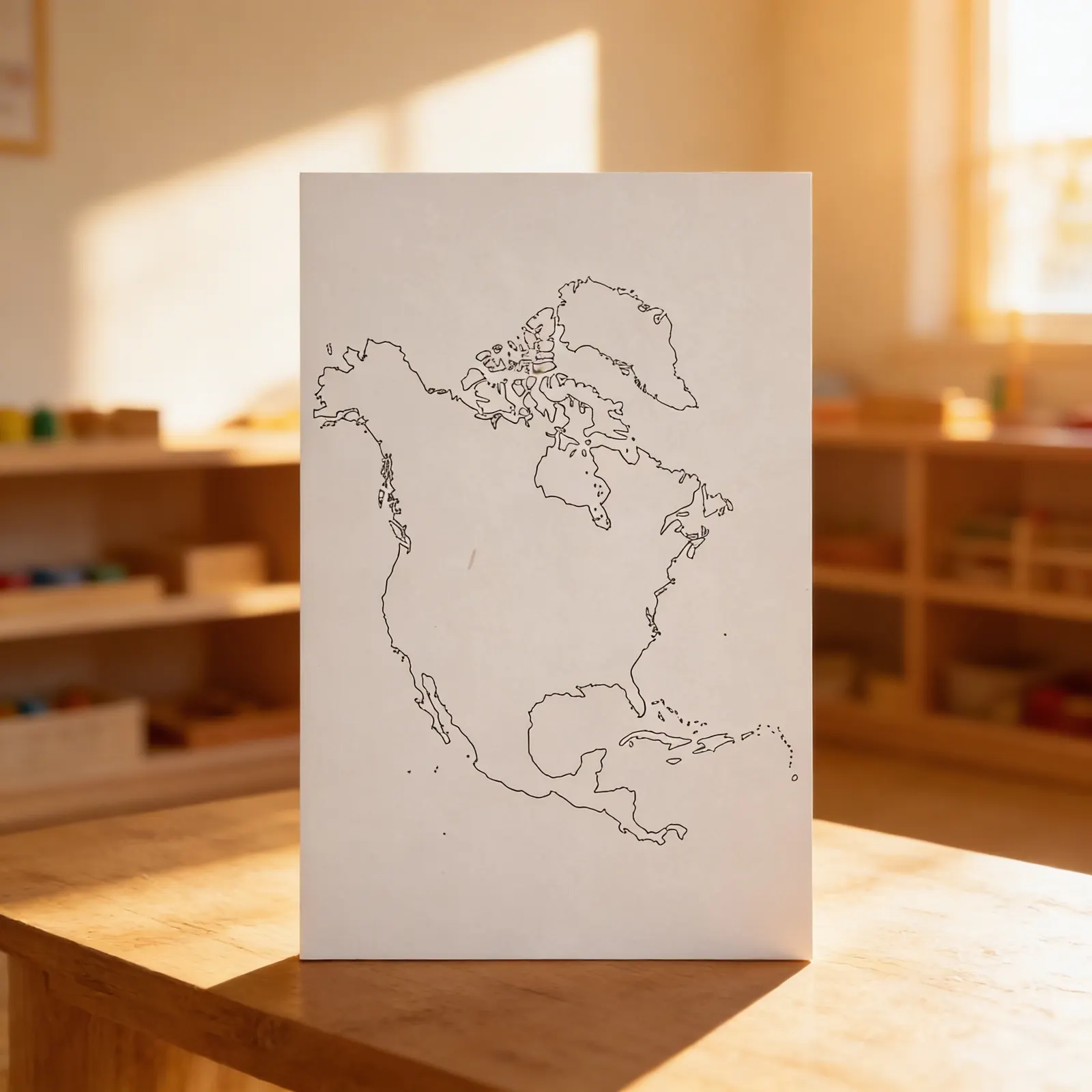
Fifty identical outline maps of North America make up this pack. The sheet gives the contour of the continent and leaves the rest to the child, who can draw the borders in pencil, colour the areas or write the names where they belong. Each attempt gets a fresh sheet, so the work can be redone as often as the child wants. Since the sheets are identical, the first and the last attempt can be compared side by side. The paper is white, as Nienhuis lists it, and the pack weighs 600 g. For ages 3 to 6.
Geographic Awareness
Children develop understanding of North America's shape and the political divisions within the continent through hands-on exploration.
Fine Motor Control
Tracing and coloring activities strengthen pencil grip and hand control while building geographic knowledge.
Visual Discrimination
Identifying and distinguishing between countries and their borders enhances visual perception and spatial reasoning.
Cultural Understanding
Learning country names and locations creates foundation for understanding diverse cultures and peoples of North America.
How to present it
Place one outline map on a tray with colored pencils (red, orange, yellow, green, blue, purple, brown). Include a control map showing countries in different colors. Set up at a table with good lighting.
- 1Invite the child to trace the outer edge of North America with their index finger
- 2Show how to trace each country border slowly and carefully
- 3Demonstrate coloring one country completely, staying within borders
- 4Invite the child to choose and color remaining countries
- 5When complete, compare with the control map
3 tips for parents
- Display completed maps at home to reinforce learning and build confidence
- Point out North America on globes or in atlases when reading stories from different countries
- Let your child teach you country names and locations using their colored maps

If you are not sure it suits your child, we answer in person.
Norbert Kovalčín, founder of Faborino · write to him
There is no review here yet. We will ask you for one after you buy. Write the first review
What's in the Box
- North America outline maps: 50 identical copies
Size and material
| Packaging | 44 × 28 × 1 cm |
| Primary Material | Paper |
| Quantity | 50 maps |
| Recommended Age | 3-6 years |
Care
Keep flat in dry location
Frequently Asked Questions
What size are the North America outline maps?
The maps are typically printed on standard A4 or letter-size paper, providing ample space for children to trace, color, and label countries while maintaining clear visibility of boundaries and shapes.
How do these outline maps support Montessori geography lessons?
These maps allow children to actively engage with geography through hands-on activities like tracing continents, coloring countries, and labeling capitals, following the Montessori principle of learning through purposeful work and repetition.
What activities can children do with these 50 outline maps?
Children can trace the continent's shape, color individual countries using the Montessori color-coding system, label country names and capitals, create flag maps, and practice pin-punching activities for fine motor development.
Are country boundaries clearly marked on these maps?
Yes, each map shows distinct country boundaries within North America, including the United States, Canada, Mexico, and Central American nations, making it easy for young children to distinguish between different countries.
Why are 50 copies included in this set?
The 50-map set ensures sufficient materials for repeated practice throughout the year, allows multiple children to work simultaneously, and provides extras for various activities like creating booklets or taking work home.
Product safety
Manufacturer: Nienhuis Montessori, Anders Celsiusstraat 15, 7442 PB Nijverdal, Netherlands
North America