
United StatesOutline (50)
The first photo is the maker's own. The other shots are illustrative.
Inv. no. NIE-553200
- Maker
- Nienhuis Montessori, since 1929
- Approval
- AMI
- Primary Material
- Heavy cardstock
- Finish
- Matte print surface
- EAN
- 8719924029302
Final price incl. VAT. Delivery €5.90, €125.10 to go for free delivery.
Advice, warranty and returns are handled by us.
Why it costs €23.90
Behind the price of the original are things you can check yourself.
AMI approval
The material is approved by the Association Montessori Internationale (AMI). Nienhuis has made Montessori materials since 1929.
A verifiable original
The EAN 8719924029302 is on the box. It is the maker's number, not ours.
United States in a child's hands
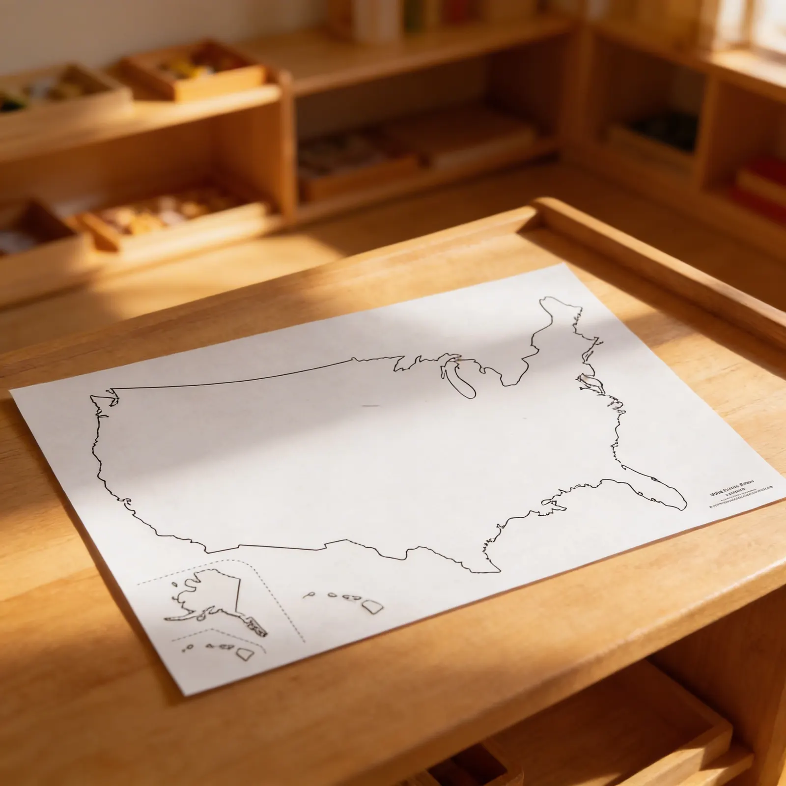
Opening windows to the wider world, this United States outline template provides children with a precise geographical reference for map-making activities in the Montessori geography curriculum. The clear continental outline includes separate representations of Alaska and Hawaii, supporting accurate pin-mapping exercises and and children learn to trace and create their own United States maps while developing spatial awareness and geographic knowledge.
Geographic Awareness
Develops understanding of United States geography through hands-on tracing and mapping activities
Fine Motor Skills
Strengthens pencil control and precision through careful outline tracing exercises
Spatial Reasoning
Builds comprehension of scale, proportion, and relative positions of states
Cultural Studies
Supports lessons on American geography, states, and regional characteristics
How to present it
Place the outline template on a felt mat with tracing paper, colored pencils, pushpins, and a cork board nearby. Ensure good lighting and a stable work surface.
- 1Demonstrate slow, careful tracing of the continental outline using a colored pencil
- 2Trace Alaska and Hawaii separately, discussing their actual geographic positions
- 3Introduce pin-mapping by placing pins along major boundaries and coastlines
- 4Add geographic features like major rivers or mountain ranges to the traced map
- 5Label the map with cardinal directions and neighboring countries
3 tips for parents
- Support map work at home by locating family members' birthplaces or travel destinations on the outline
- Create simple outline books where each page features a different themed map (favorite foods by region, animals, climate)
- Display completed maps to acknowledge the child's careful work and geographic learning

If you are not sure it suits your child, we answer in person.
Norbert Kovalčín, founder of Faborino · write to him
There is no review here yet. We will ask you for one after you buy. Write the first review
What's in the Box
- US Outline Templates: 50 identical sheets
- Continental Outline: Main US territory
- Alaska Outline: Separate representation
- Hawaii Outline: Separate representation
Size and material
| Packaging | 44 × 28 × 1 cm |
| Primary Material | Heavy cardstock |
| Finish | Matte print surface |
| Recommended Age | 3-6 years |
Care
| Cleaning | Wipe gently with dry cloth |
| Storage | Store flat in geography materials |
Frequently Asked Questions
What materials are included with the United States outline template?
The template includes a precise continental outline of the United States with separate representations of Alaska and Hawaii. It's designed for tracing activities and serves as a base for pin-mapping exercises in Montessori geography lessons.
How does this outline support Montessori geography curriculum?
This outline template enables children to create their own maps through tracing, develop spatial awareness through pin-mapping exercises, and build geographic knowledge by working with accurate proportions and boundaries of the United States.
What age group is this United States outline designed for?
This educational material is specifically designed for children ages 3-6 years, aligning with the Montessori primary curriculum when children begin exploring geography through hands-on activities and map work.
What activities can children do with this outline template?
Children can trace the outline to create their own maps, use it for pin-mapping exercises to mark states or cities, color different regions, and use it as a reference for puzzle map work and other geography extensions.
Is this outline template durable for classroom use?
The template is designed as an educational material for repeated classroom use, providing a clear and precise outline that maintains its accuracy through multiple tracing and mapping activities typical in Montessori environments.
Product safety
Manufacturer: Nienhuis Montessori, Anders Celsiusstraat 15, 7442 PB Nijverdal, Netherlands
United States