
Puzzle MapFrance
The first photo is the maker's own. The other shots are illustrative.
Inv. no. NIE-0175C0
- Maker
- Nienhuis Montessori, since 1929
- Approval
- AMI
- Base & Pieces
- Solid wood construction
- Finish
- Paint or lacquer
- EAN
- 8719924008192
€204.90
Final price incl. VAT. Free delivery.
✓ In Stock. Delivery in 5 to 9 working days.
1
30 daysto return
Advicebefore and after
Invoicefor companies
Advice, warranty and returns are handled by us.
The original
Why it costs €204.90
Behind the price of the original are things you can check yourself.
AMI approval
The material is approved by the Association Montessori Internationale (AMI). Nienhuis has made Montessori materials since 1929.
A verifiable original
The EAN 8719924008192 is on the box. It is the maker's number, not ours.
What the child does
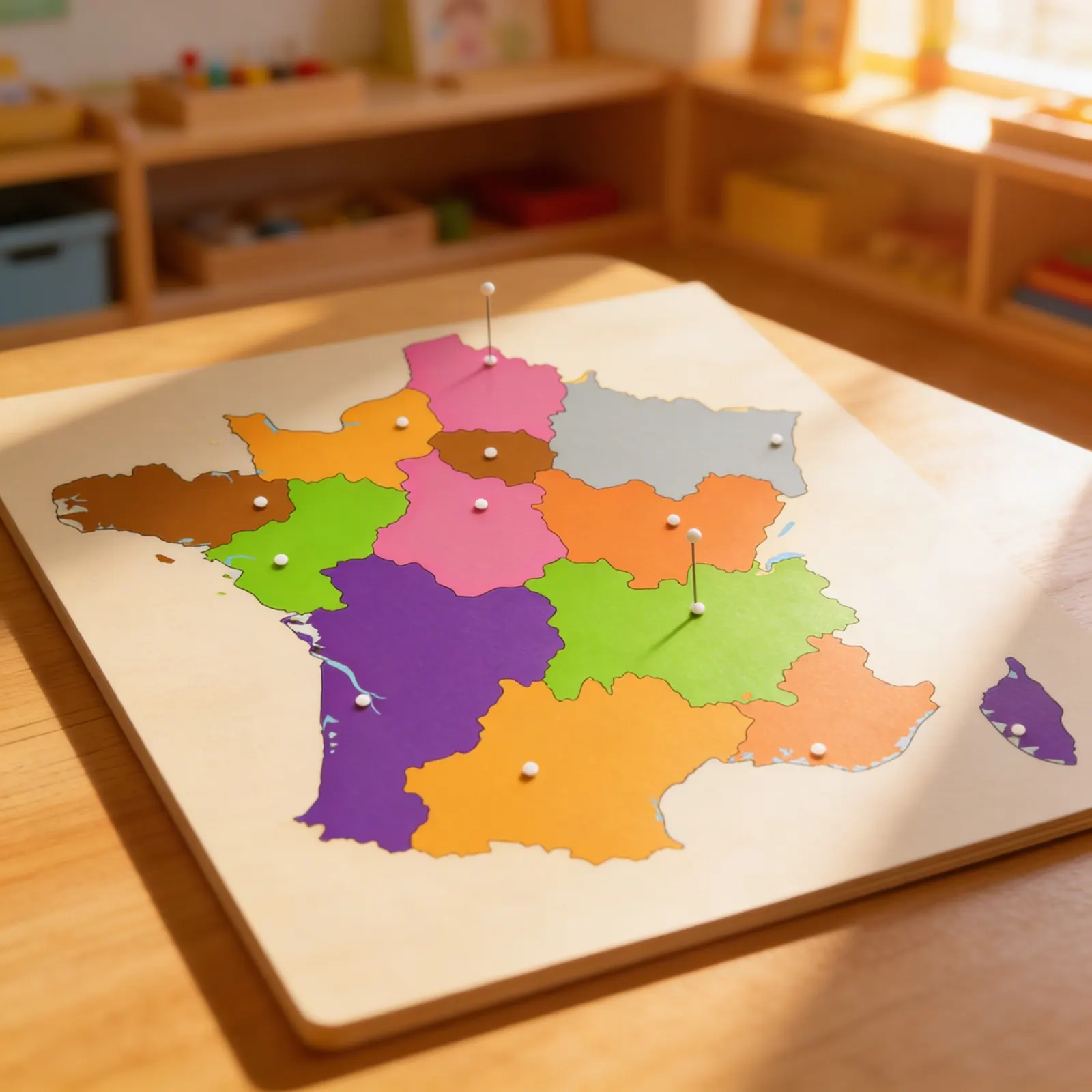
Puzzle Map in a child's hands
Expertly crafted from natural wood, this wooden puzzle map guides discovery of the geography of France through independent work. Each color-coded region is a removable piece with a white knob handle, giving children the chance to trace, match, and rebuild the country while developing spatial awareness and fine motor control. The large format and precise craftsmanship make this an essential material for cultural geography studies in the Montessori classroom.
Geographic Awareness
Children develop understanding of France's regional divisions and spatial relationships through concrete manipulation.
Fine Motor Refinement
Grasping knobs and fitting pieces precisely strengthens pincer grip and hand-eye coordination.
Visual Discrimination
Color-coded regions help children distinguish and memorize different areas of France.
Cultural Connection
Hands-on exploration creates meaningful connections to French geography and culture.
Activity Guide
How to present it
Place the France puzzle map on a large work mat. Have colored pencils and blank paper nearby for tracing activities.
- 1Invite the child to remove one region at a time, starting with larger pieces
- 2Name each region as you remove it, placing pieces on the mat in geographical relation
- 3Trace around each wooden piece on paper, creating regional outlines
- 4Return pieces one at a time, naming regions and discussing what makes each unique
3 tips for parents
- Share family connections to specific French regions while working with the puzzle
- Look at maps of France in books or online to reinforce the puzzle work
- Prepare French regional foods and locate their origins on the puzzle map
From the same makerNienhuis
Accessories
Why it is in our selection
If you are not sure it suits your child, we answer in person.
Norbert Kovalčín, founder of Faborino · write to him
There is no review here yet. We will ask you for one after you buy. Write the first review
Details
What's in the Box
- Wooden base frame: 45 × 50 cm with recessed map area
- Region puzzle pieces: Approx. 14 color-coded pieces with knobs
- Corsica piece: Separate island component
Size and material
| Packaging | 62 × 50 × 3 cm |
| Base & Pieces | Solid wood construction |
| Finish | Paint or lacquer |
| Handles | White wooden knobs |
| Recommended Age | 3-6 years |
Care
| Cleaning | Wipe with slightly damp cloth, dry immediately |
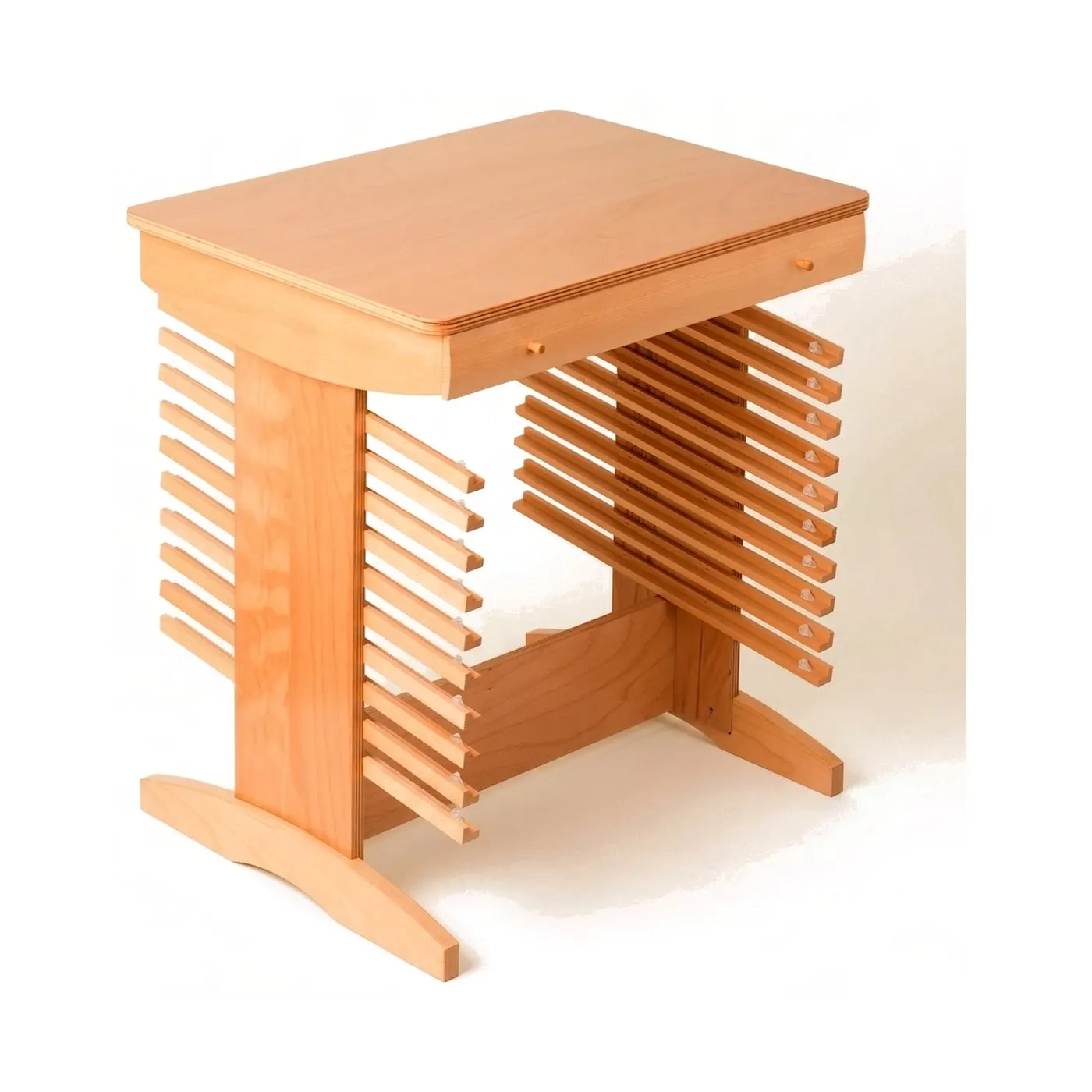
| Storage | Store flat in map cabinet or on shelf |
Frequently Asked Questions
What are the exact dimensions of the France puzzle map?
The puzzle map measures approximately 57cm x 50cm, providing a large-format workspace that allows children to see regional boundaries clearly and manipulate pieces comfortably. The frame is crafted from solid beech wood with a water-based finish.
How many pieces does the puzzle contain and what do they represent?
The puzzle contains 13 removable pieces representing the administrative regions of metropolitan France. Each region is painted in a distinct color to help children distinguish boundaries and develop visual discrimination skills.
Why is this puzzle recommended for ages 3-6 when geography seems advanced?
In Montessori education, we introduce geography concretely through sensorial experiences. Young children can successfully remove and replace pieces, trace regions, and absorb geographical shapes through repetition. This prepares them for more abstract geographical concepts later.
How should teachers present this material in the classroom?
Begin with a three-period lesson naming 2-3 regions. Demonstrate removing pieces gently using the knob, tracing the outline, and replacing them. Progress to matching exercises with control cards, creating regional maps, and eventually learning capitals and cultural features.
Can this puzzle be used effectively at home without Montessori training?
Yes, parents can support learning by allowing free exploration, naming regions as the child shows interest, and extending activities through songs about French regions, foods from different areas, or finding where relatives live. The key is following the child's interest without overwhelming them with information.
Product safety
Manufacturer: Nienhuis Montessori, Anders Celsiusstraat 15, 7442 PB Nijverdal, Netherlands
Puzzle Map
€204.90