
Puzzle MapSpain
The first photo is the maker's own. The other shots are illustrative.
Inv. no. NIE-0175H0
- Maker
- Nienhuis Montessori, since 1929
- Approval
- AMI
- Base Material
- Solid wood
- Finish
- Paint
- EAN
- 8719924008239
€133.90
Final price incl. VAT. Delivery €5.90, €15.10 to go for free delivery.
✓ In Stock. Delivery in 5 to 9 working days.
1
30 daysto return
Advicebefore and after
Invoicefor companies
Advice, warranty and returns are handled by us.
The original
Why it costs €133.90
Behind the price of the original are things you can check yourself.
AMI approval
The material is approved by the Association Montessori Internationale (AMI). Nienhuis has made Montessori materials since 1929.
A verifiable original
The EAN 8719924008239 is on the box. It is the maker's number, not ours.
What the child does
Puzzle Map in a child's hands
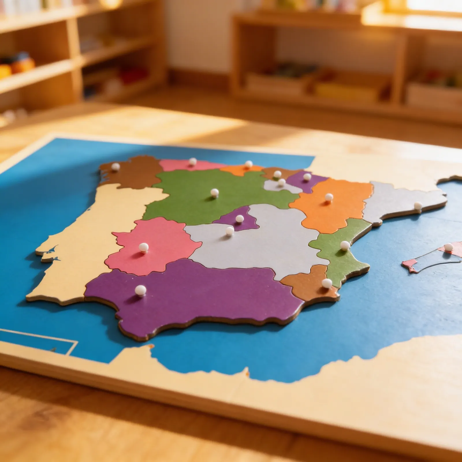
Designed for young learners, this wooden puzzle map of Spain brings children face-to-face with the country's autonomous communities through direct experience. Each color-coded region is a removable piece with a knob handle, freeing children to trace boundaries, learn regional names, and develop spatial awareness. The separate inset box for the Canary Islands teaches children about non-contiguous territories while building their understanding of Spain's complete geography.
Geographic Knowledge
Children learn Spain's autonomous communities, their locations, and relationships while developing an understanding of political boundaries.
Fine Motor Skills
Grasping knobs and fitting pieces precisely into their spaces refines pincer grip and hand-eye coordination.
Spatial Intelligence
Manipulating puzzle pieces develops spatial awareness and understanding of how regions fit together to form a whole.
Cultural Awareness
Introduces children to Spain's diverse regions, preparing them for deeper cultural and linguistic studies.
Activity Guide
How to present it
Place the puzzle map on a work mat at the child's table. Position the base with north pointing upward. Have a damp sponge nearby for tracing activities.
- 1Remove all pieces slowly, starting from the top, placing them randomly on the mat
- 2Select one piece and examine its shape, then find its location by matching the color and outline
- 3Continue placing pieces one at a time, naming each autonomous community as you work
- 4Place the Canary Islands in their separate inset box, discussing their location off Africa's coast
3 tips for parents
- Look for books about Spain showing photographs from different regions your child is learning
- If you have Spanish heritage, share family connections to specific autonomous communities
- Point out Spanish products in stores and discuss which region they might come from
From the same makerNienhuis
Accessories
Why it is in our selection
If you are not sure it suits your child, we answer in person.
Norbert Kovalčín, founder of Faborino · write to him
There is no review here yet. We will ask you for one after you buy. Write the first review
Details
What's in the Box
- Wooden puzzle map base: with recessed areas for pieces
- Approx. 18 regional puzzle pieces: each with knob handle
- Separate Canary Islands inset: removable box section
Size and material
| Packaging | 62 × 50 × 3 cm |
| Base Material | Solid wood |
| Finish | Paint |
| Recommended Age | 3-6 years |
Care
Wipe with slightly damp cloth, dry immediately
Frequently Asked Questions
What age is the Spain puzzle map appropriate for?
This puzzle map is designed for ages 3-6, though children may continue using it for reference throughout elementary years. The knob handles make it accessible for younger children still developing their pincer grip.
How does this puzzle help children learn about Spain's geography?
Each autonomous community is a separate, color-coded piece that children can remove, trace, and replace. This hands-on approach helps children memorize regional boundaries, names, and locations through tactile and visual learning.
What materials is the Spain puzzle map made from?
The puzzle is crafted from high-quality wood with smooth, precisely-cut pieces. Each region features a sturdy knob handle, and the map includes durable, child-safe paint in distinct colors for each autonomous community.
How is the Canary Islands represented in this puzzle?
The Canary Islands are included in a separate inset box on the puzzle board, teaching children about non-contiguous territories and helping them understand Spain's complete geographical composition.
What skills does this geography material develop?
This puzzle develops spatial awareness, fine motor control, visual discrimination, and geographical knowledge. Children also build vocabulary, practice problem-solving, and gain cultural awareness of Spain's diverse regions.
Product safety
Manufacturer: Nienhuis Montessori, Anders Celsiusstraat 15, 7442 PB Nijverdal, Netherlands
Puzzle Map
€133.90